

Mark Twain/I-70 Industrial is a north St. Louis neighborhood bound by I-70 to the north, Natural Bridge to the south, the city limits to the west and Kingshighway to the east:

The 2000 census data counted 1,361 residents (down 14% from 1990's count) of whom 74% were black, 24% white and 1% Asian. There were 393 housing units counted, 92% occupied (87%/13% owner/renter split).
Mark Twain Industrial is the second most racially diverse north city neighborhood (ONSL counted 27% white people in 2000). But, this is definitely not a largely residential neighborhood, so the north side still stands as a largely uni-culture, uni-racial part of our city. Much of south St. Louis is very diverse in every way, north St. Louis is decidedly not. That's just a fact in our city. One that hopefully will change and evolve to a place that people of all backgrounds and races choose to live.
The neighborhood lost 5% of its residents from 2000-2010, down to 1,295 residents. Racial diversity took a hit as white people left in great numbers. The 2010 makeup was 96% Black, 2% white, 2% Hispanic/Latino. Only 5 housing units were lost, so we’re at 388 units with an 87% occupancy rate.
By 2020, another 30% was lost, down to a mere 902 residents. This time it was Black people leaving the neighborhood. The neighborhood is 92% Black, 4% white, 3% 2+ races and 1% Hispanic/Latino. 18 housing units were lost and occupancy was at 84%.
A quick look at the map indicates there are huge parcels of land with very little road access. Most of the property is dedicated to business parks and factories/processing facilities, so getting photos is really tough. Obviously, I didn't take any pictures of the several U.S. military properties, and many of the business parks are private with guard stations disallowing blokes like me with cameras access.
Here's a brief snippet from the city website:
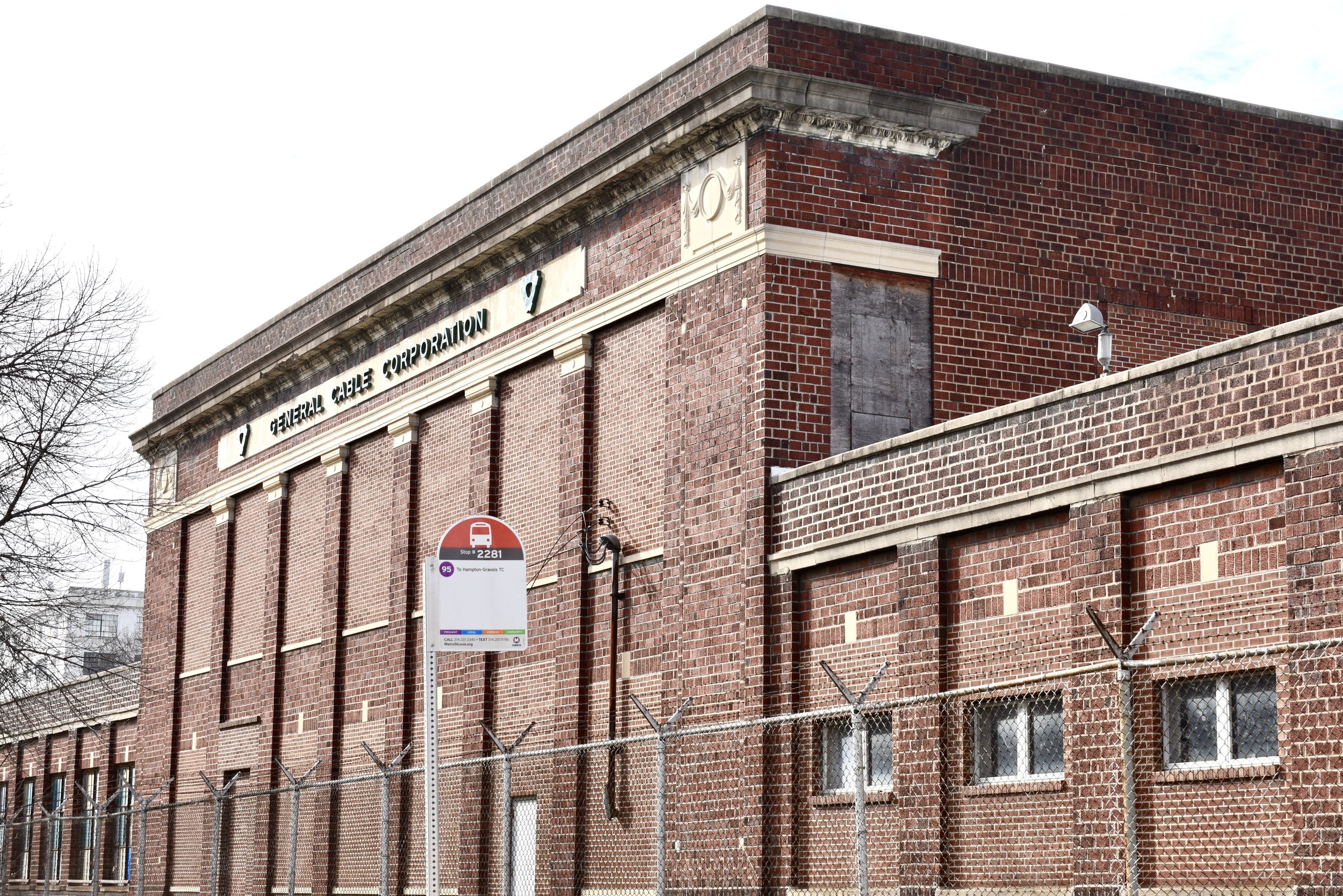
This highly industrialized area is home to the Army Mobility Equipment Center which houses defense divisions of government, including the Army, Navy, and Air Force. Other companies are ATCOM, Harward Interiors Manufacturing Co., Central States Diversified Inc., ABB Power T&D Company, Westinghouse Electric Corporation, Unidynamics Corporation, and Lowy Group Inc.. This industrial area provides employment for many residents of the Northside. The now closed General Motors Plant offers great development potential.
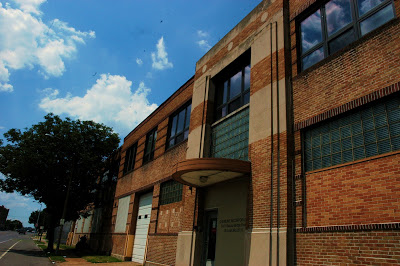
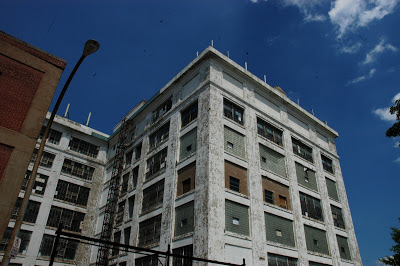
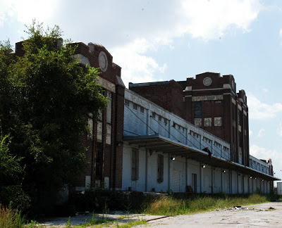
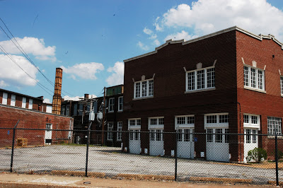
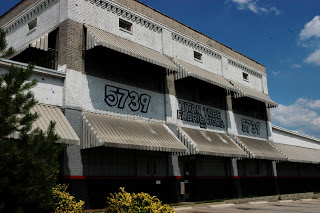
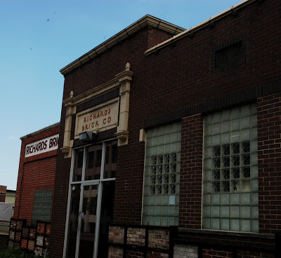
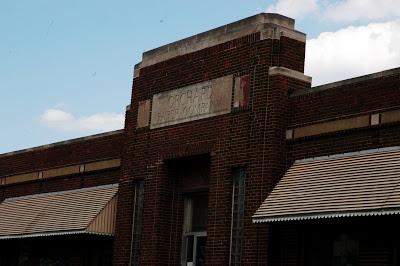
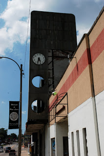
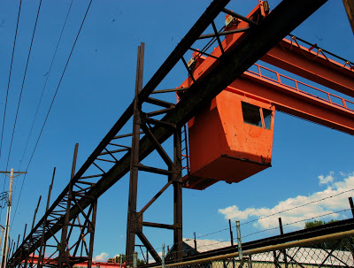
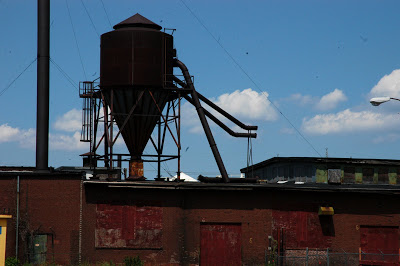
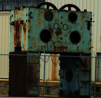
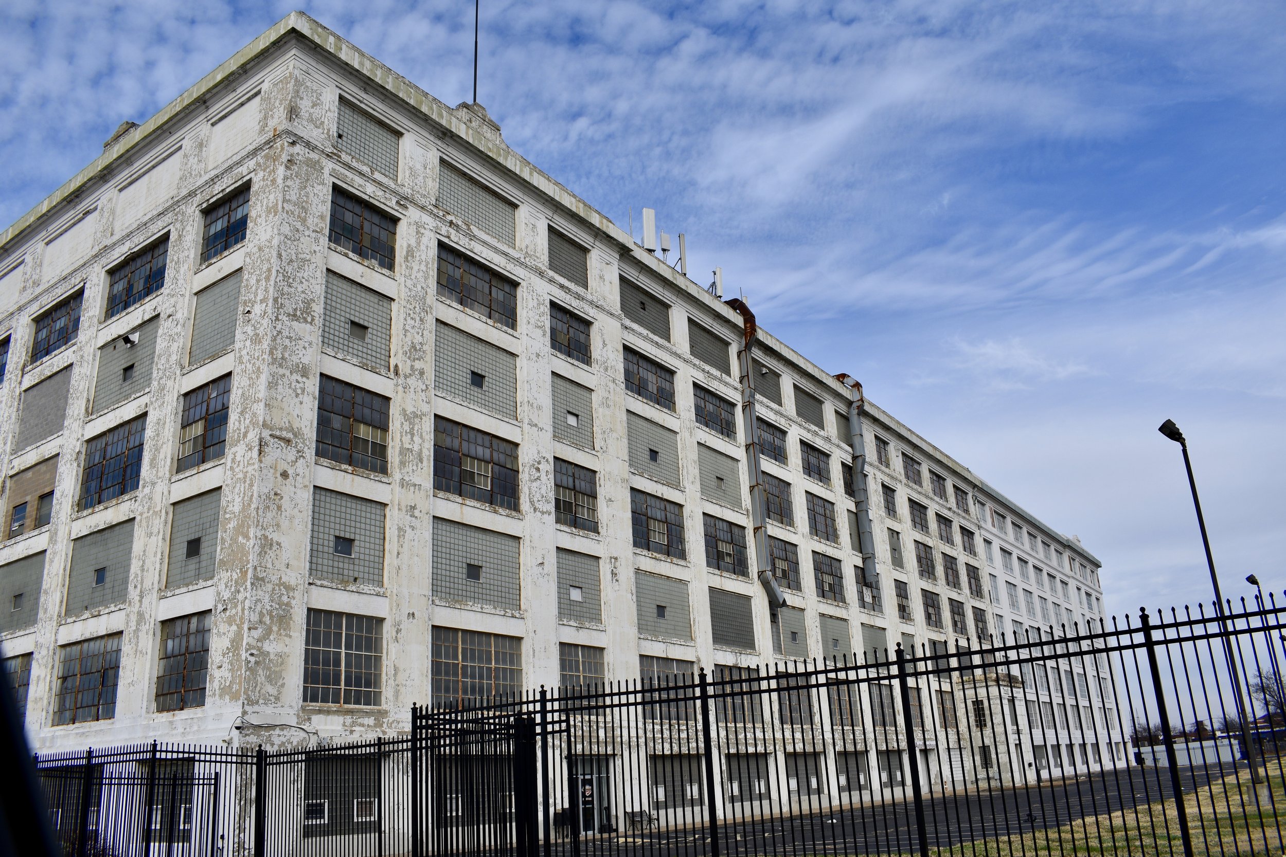
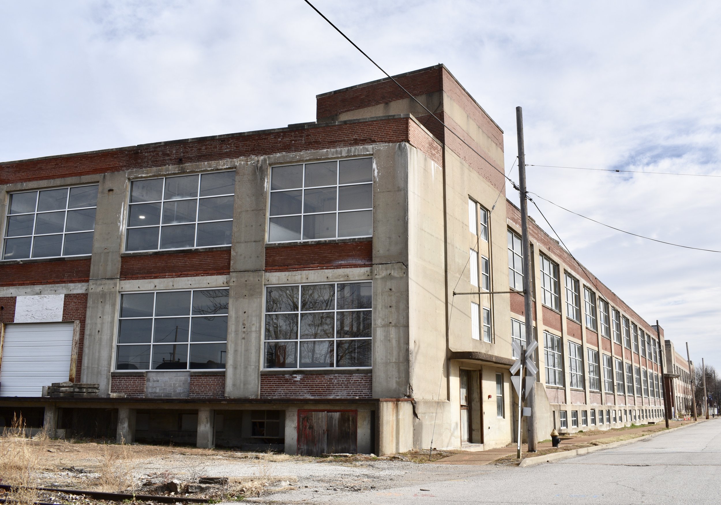
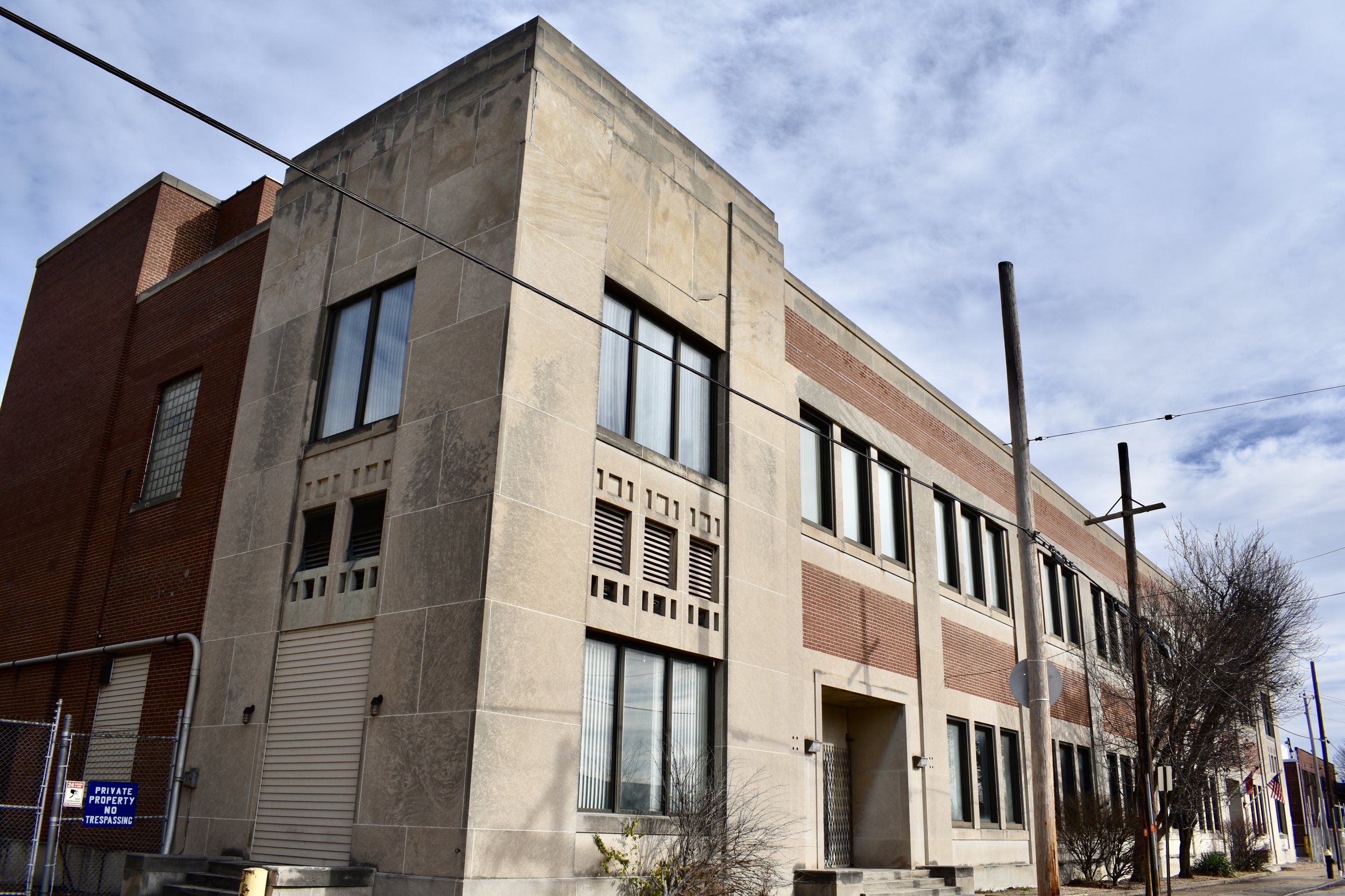
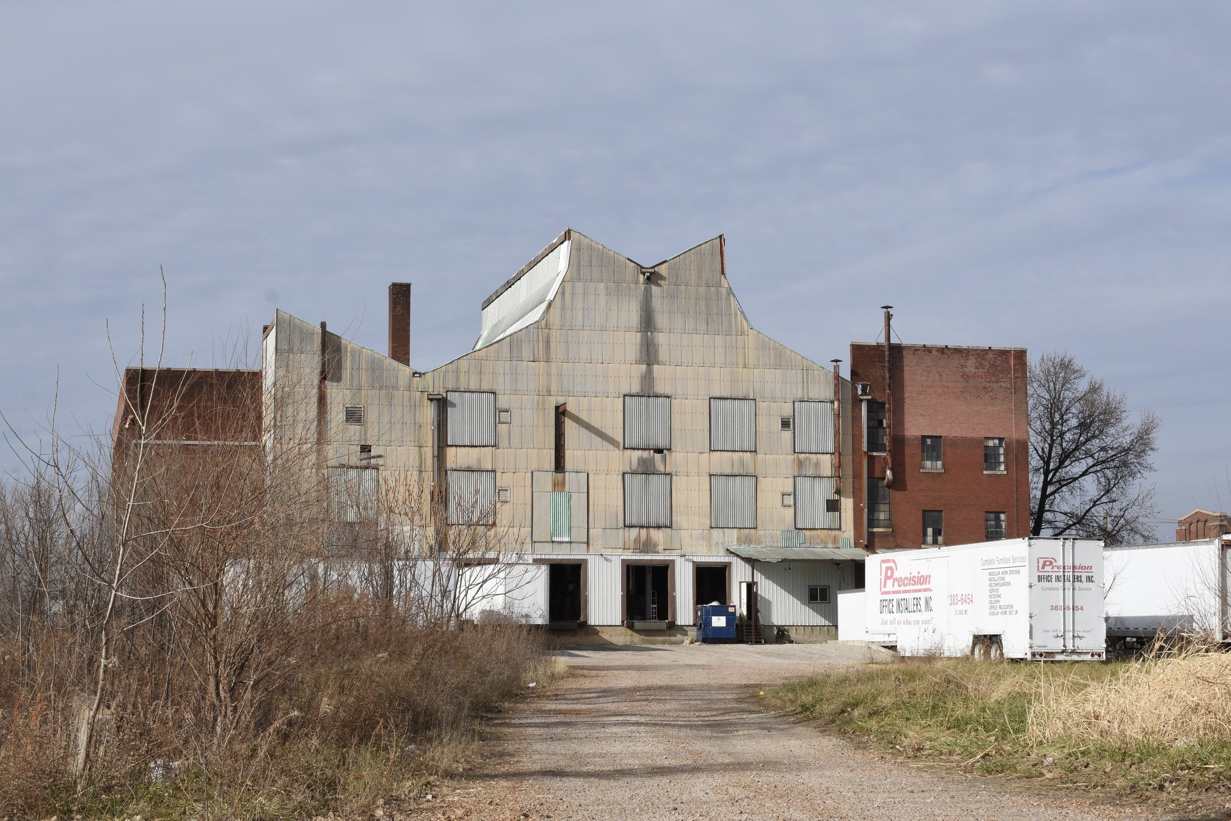
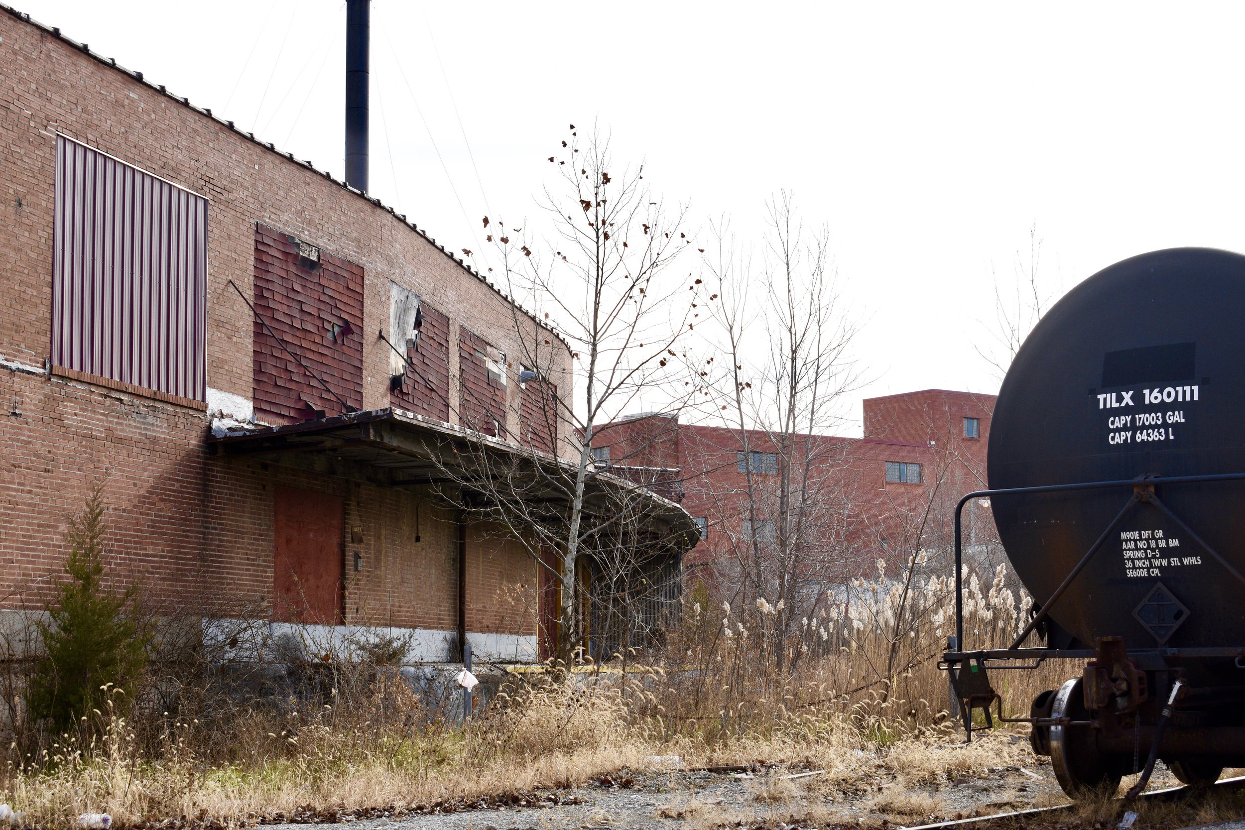
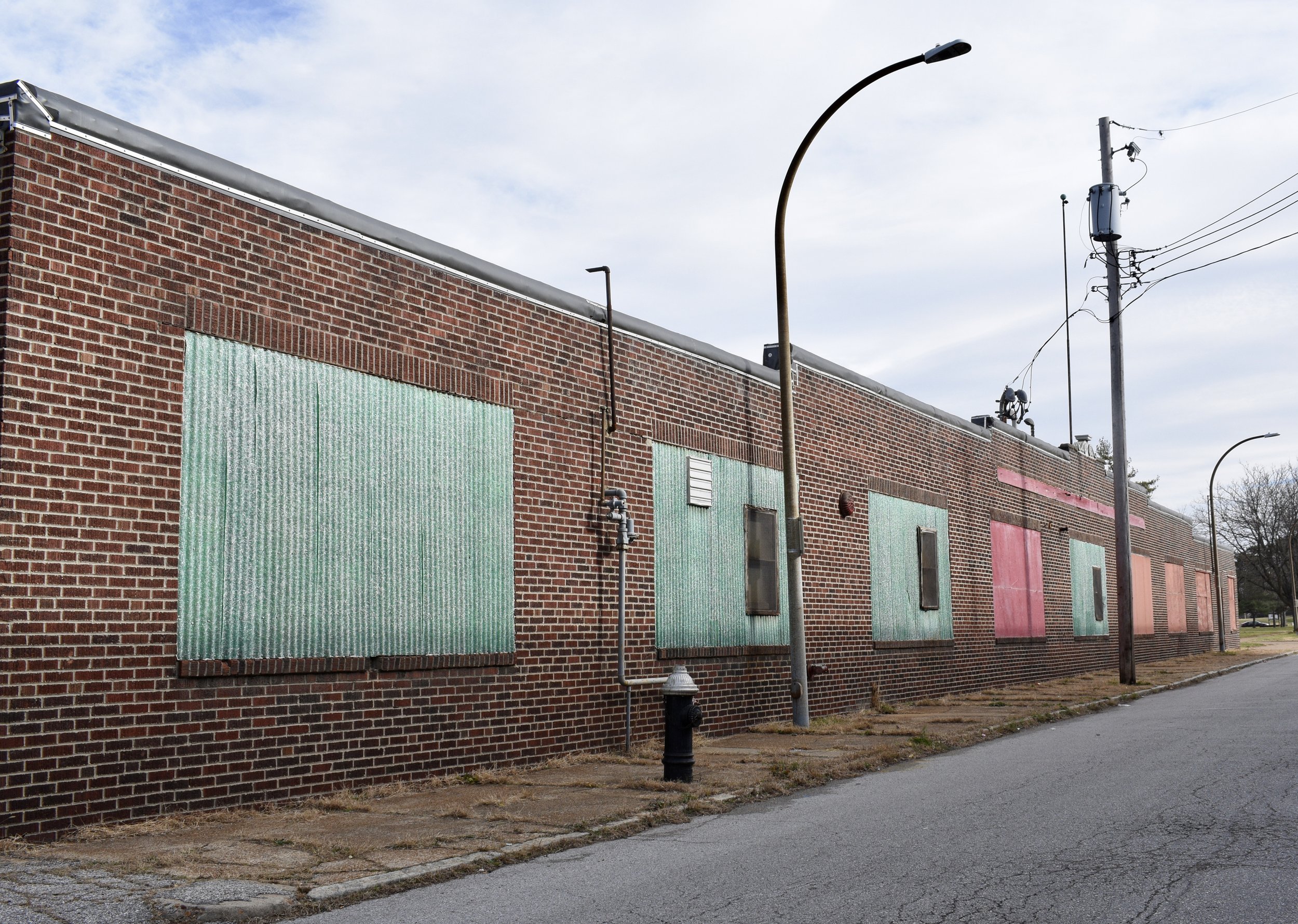
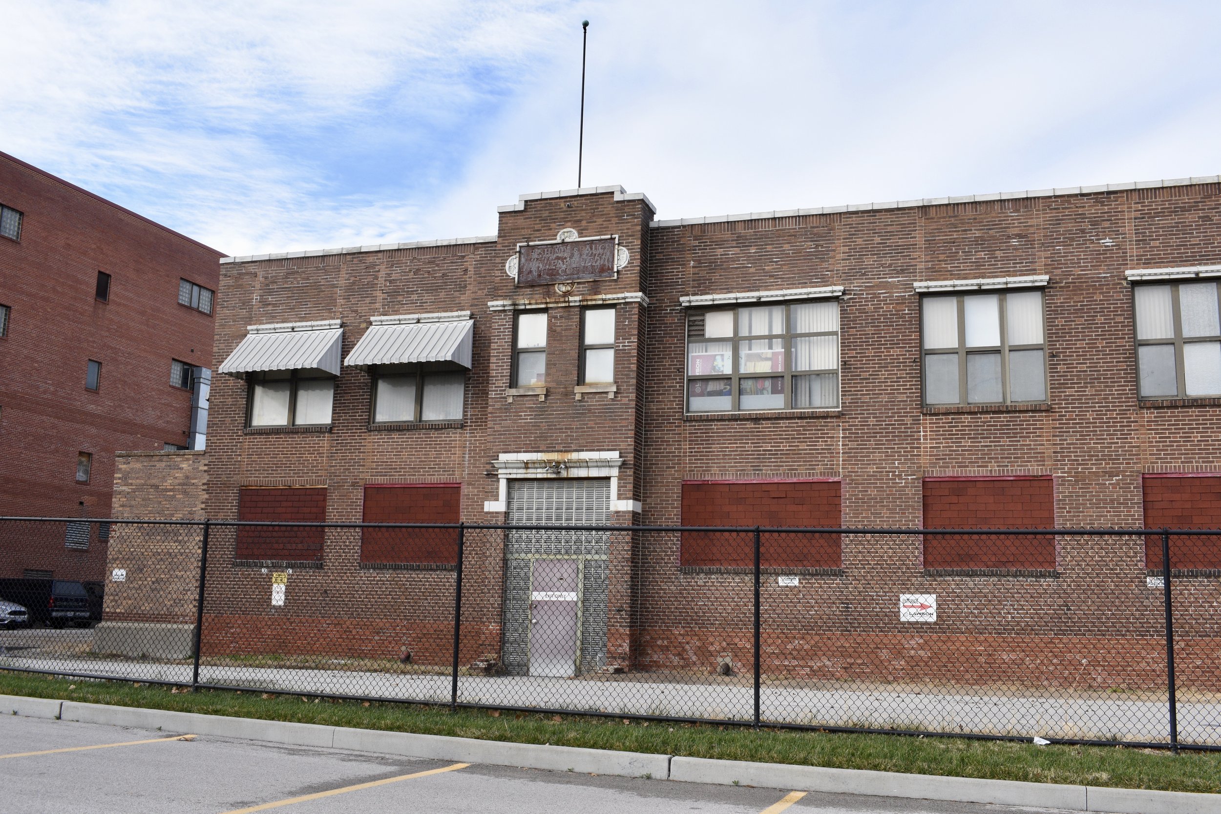
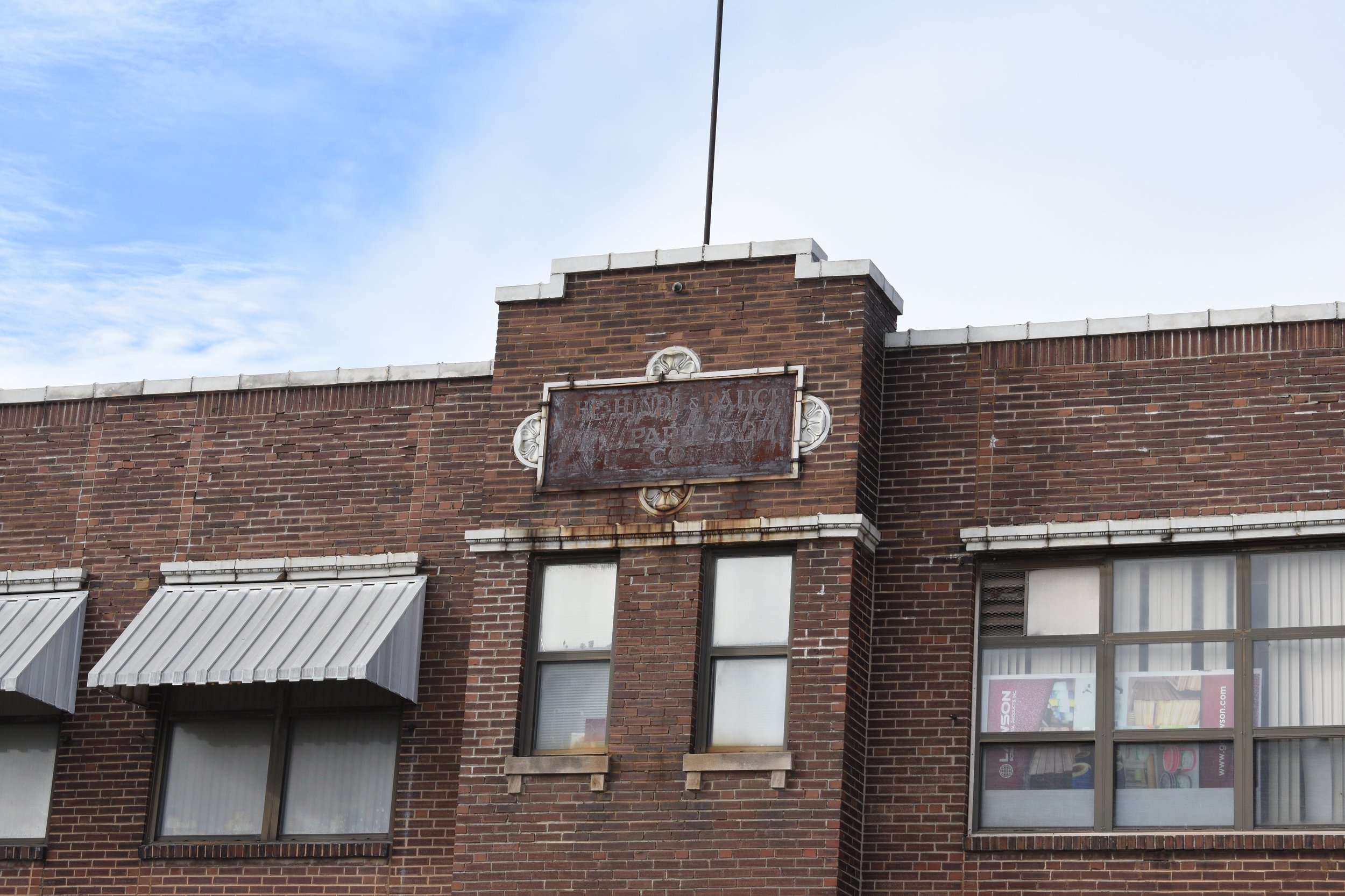
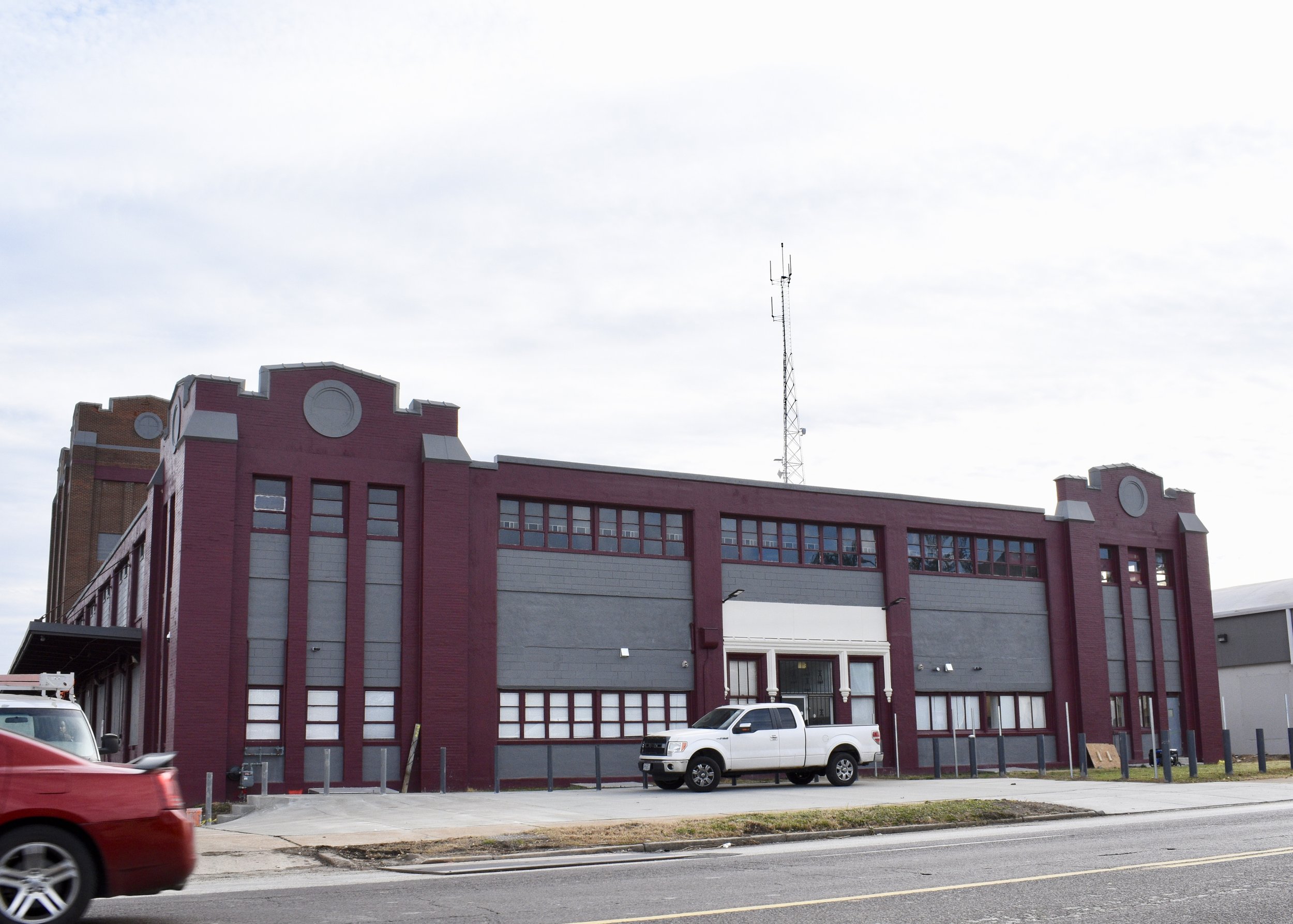
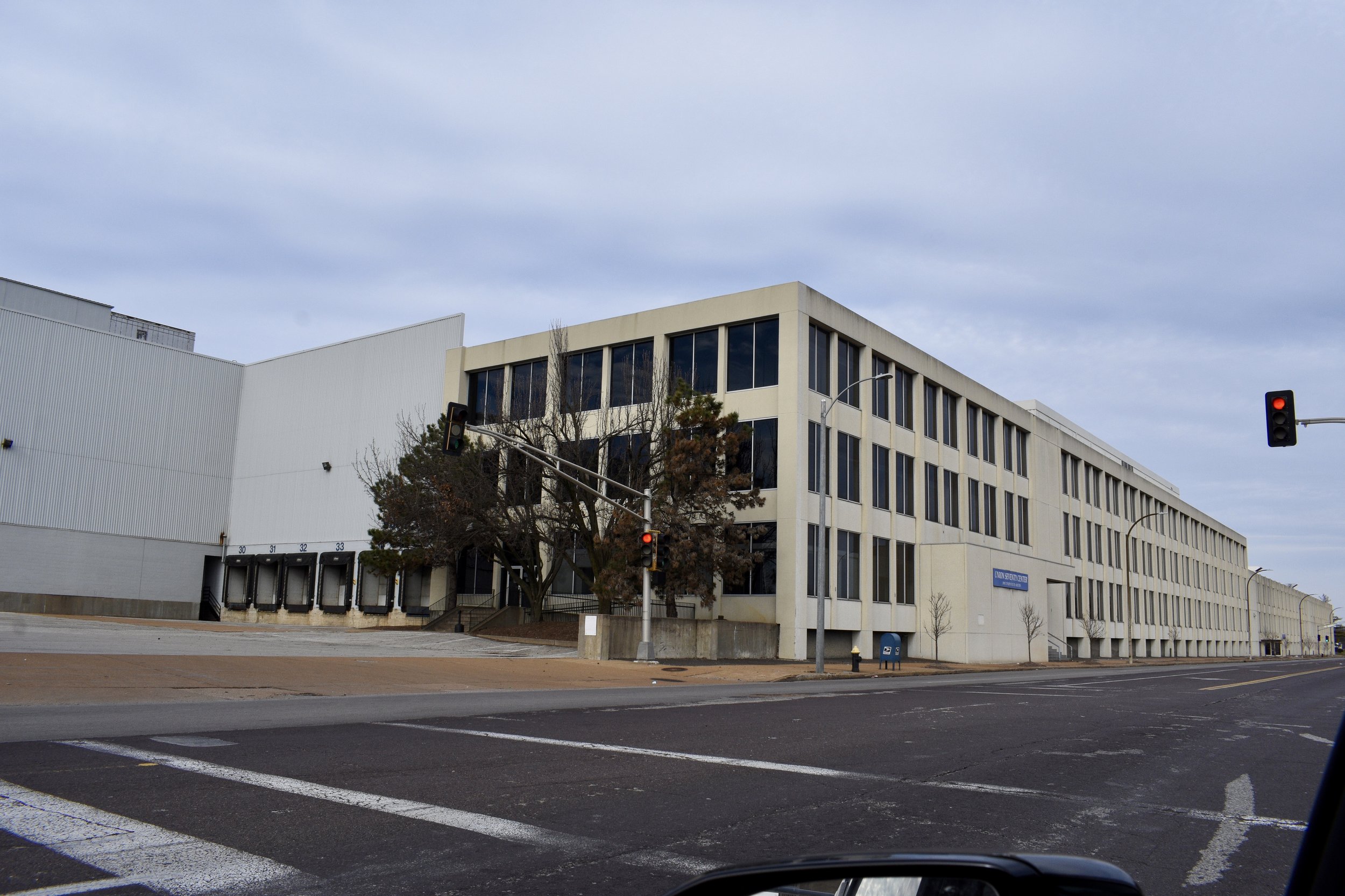
Other businesses I encountered were Smurfit-Stone Recycling and Pepsi. It's good to see jobs and businesses in the city; but many, if not most, of the former factories in Mark Twain Industrial are now abandoned; but many are very cool looking nonetheless:
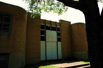
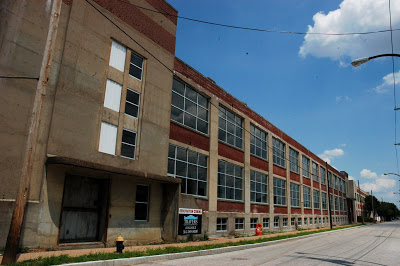
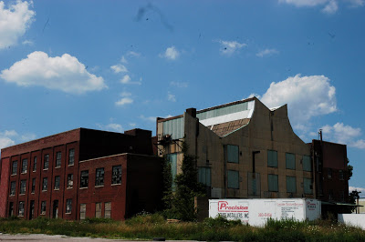
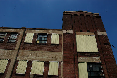
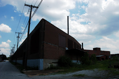
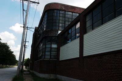
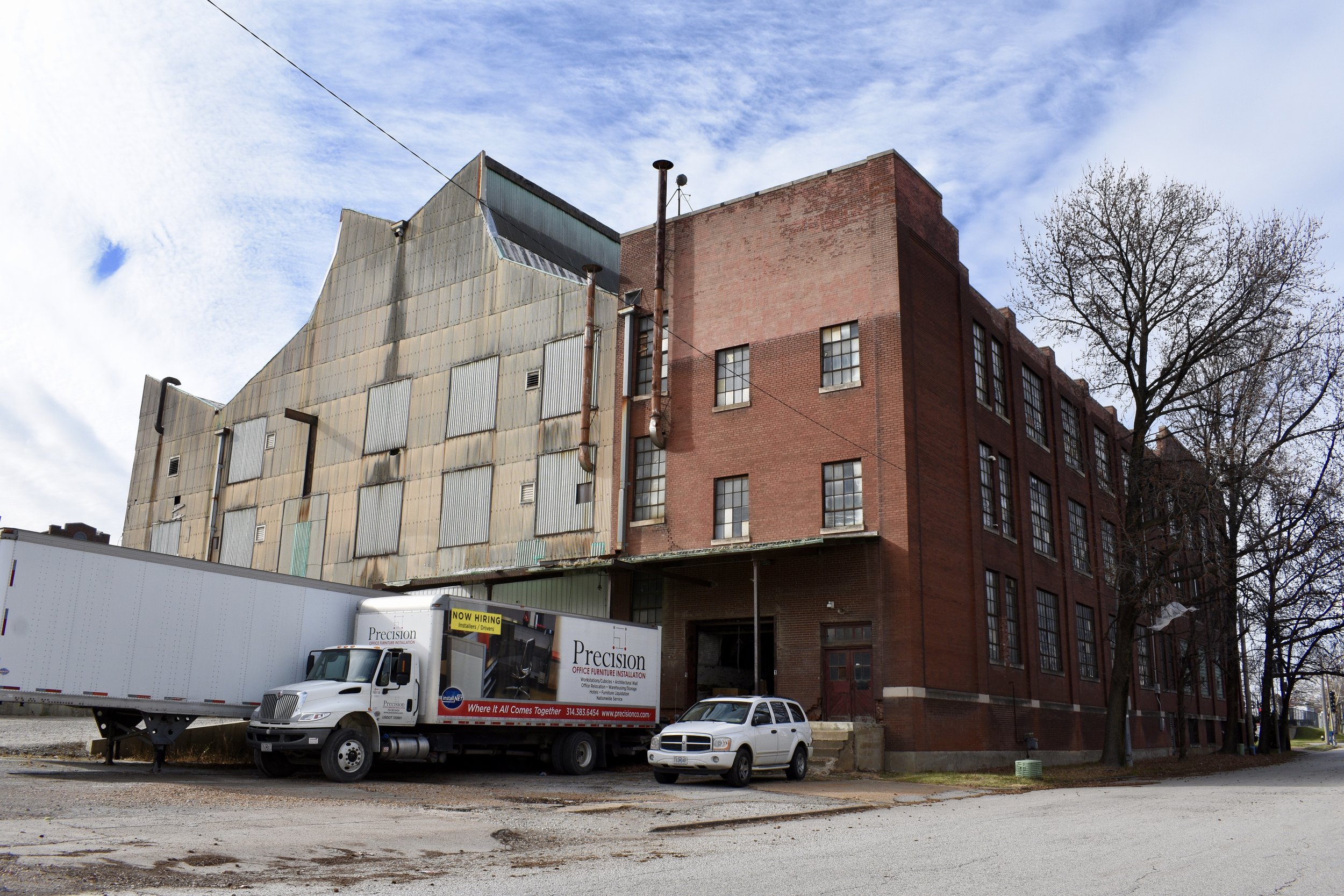
Some factories have been converted to warehousing and distribution facilities:
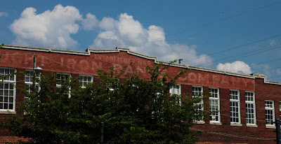
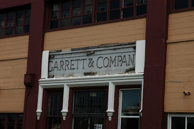
The ghost sign on this next one reads "Wrought Iron Range Company established 1864"
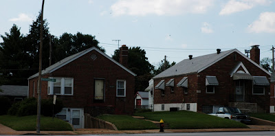
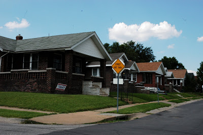
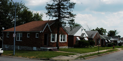
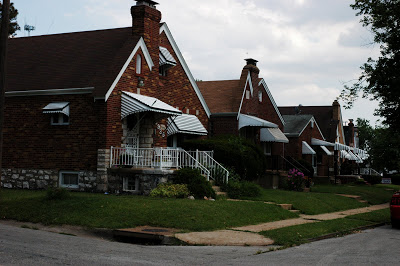
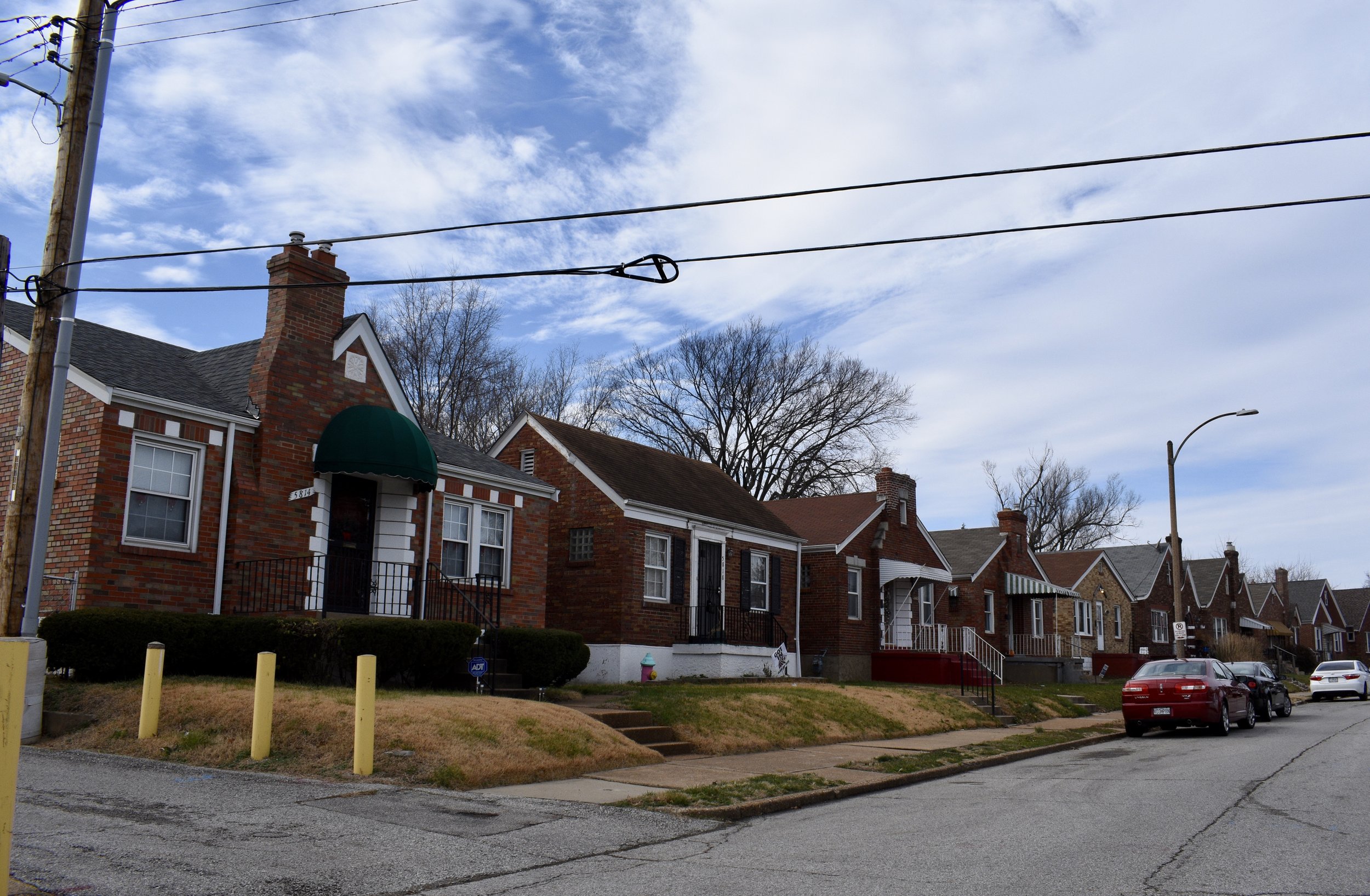
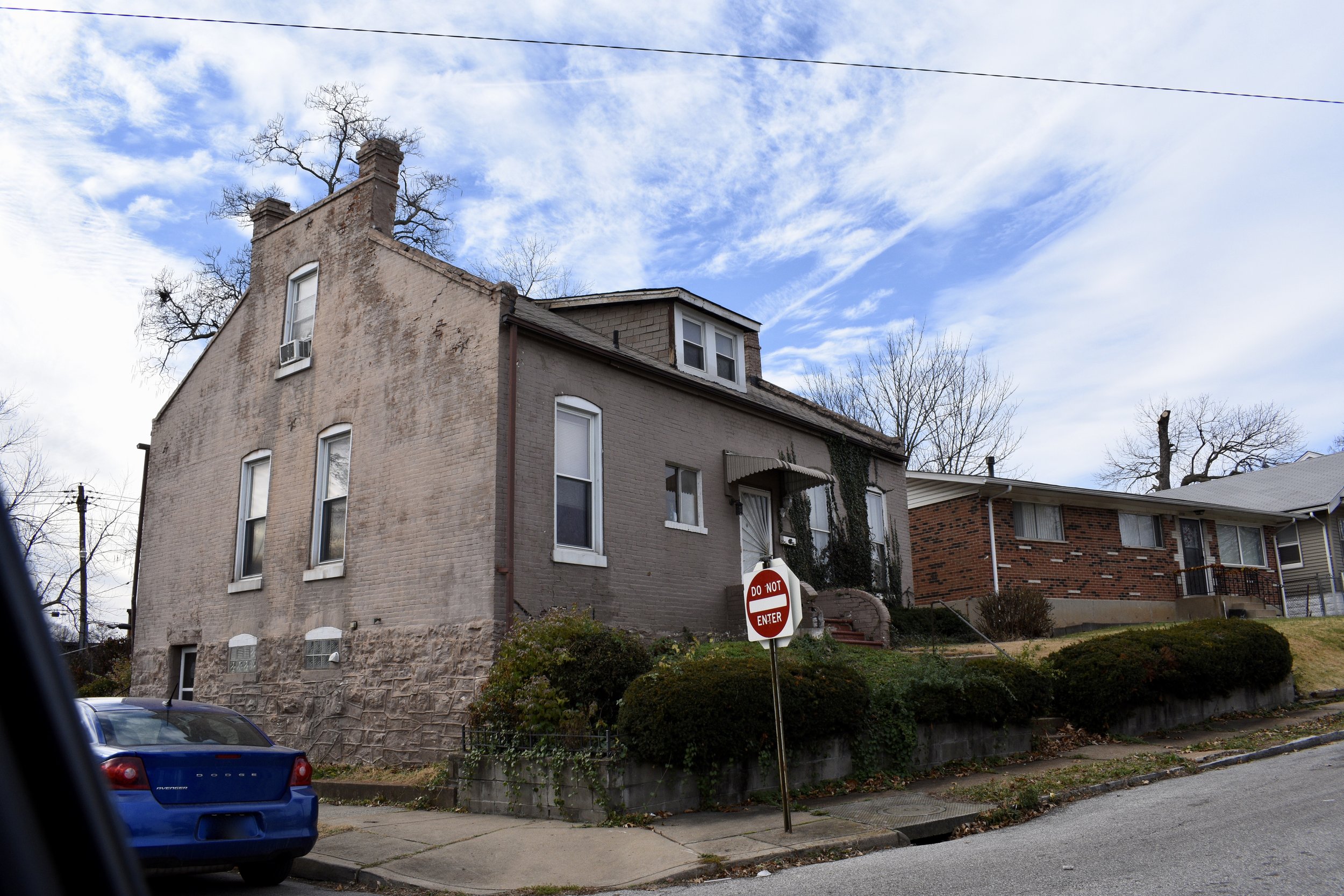
The homes that do exist here are quite nice. The streets are clean and the properties are tidy, this would be a great place to live if you worked at one of the many employers in this neighborhood. The only detail that stuck out as unique were the frequency of below grade garages and entry ways that existed on many of the properties:
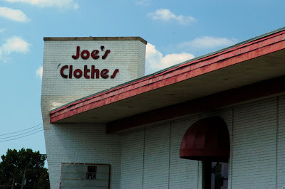
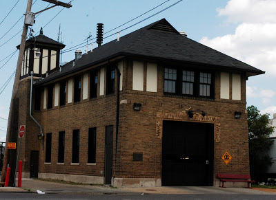
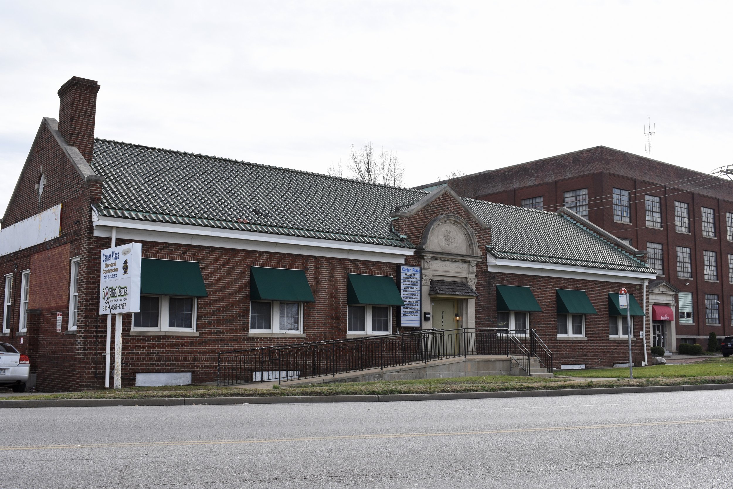
There are a few non-chain businesses, but not many and an impressive fire house:
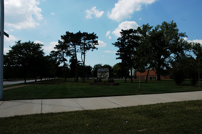
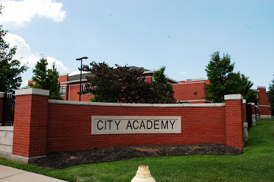
There are some other suburban style campus settings including Mathews Dickey Boys and Girls Club, The City Academy, etc.
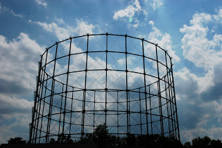
There are a couple of sights that I noticed that aren't technically in the Mark Twain/I-70 Industrial neighborhood, but rather in the suburban city of Pine Lawn and the gasometer in the Wells/Goodfellow neighborhood of St. Louis, which used to be a common sight along I-44 in St. Louis County and along I-64 in the Forest Park Southeast neighborhood of St. Louis:
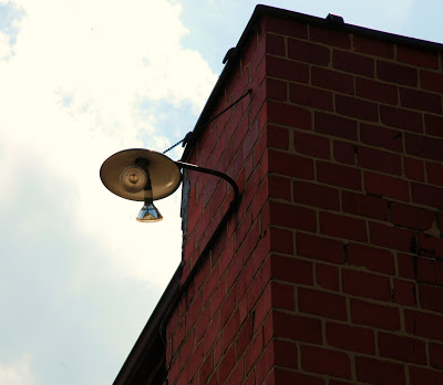
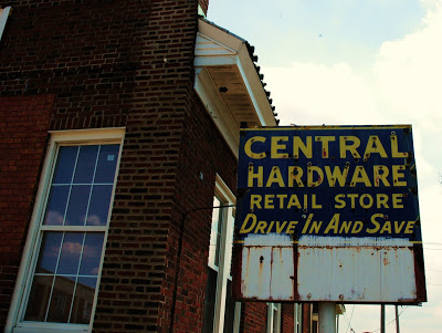
But, just like most neighborhoods in St. Louis, there are some subtle details that will catch your eye and may capture your curiosity:

***In December, 2021 I revisited the neighborhood and the following includes updated commentary and photos.***
Misses On Original Tour
This neighborhood is not mapped on Google, so I mapped it myself. Turns out, the housing is really on the western edge next to the suburb of Pine Lawn, MO. The closest western street is Dardenne Drive or Darby. You can use the typical tricks like pavement changes and dumpster/roll out carts to ID St. Louis vs. Pine Lawn.
Other than that, I pretty much got it. The former Corvette Plant is hard to photograph since it is on private property protected with guard shacks for entry.
The former Rexall Drug Company building on Kingshighway has some amazing decorative panels that I’ll go back with my telephoto lens to capture them.
Noticeable Changes
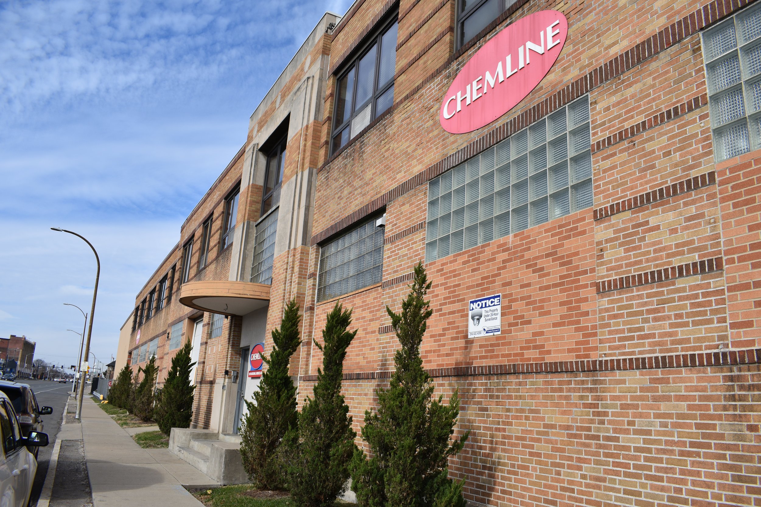
The businesses have changed in some cases but the area is still in use as industrial and warehouse spaces.
There was a traffic circle and some traffic calming along Natural Bridge near the County border. It is a bit of a head scratcher as far as placement and execution, but at least they are trying.
What Are The Future Needs?
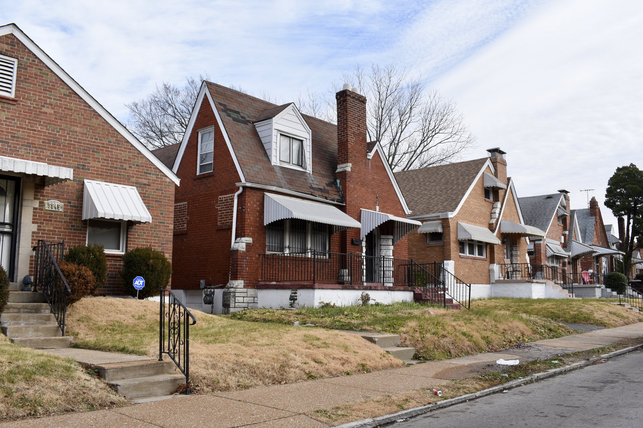
The homes on the curving streets in the southwest corner are in need of maintenance and upkeep. They have not improved or become more stable over the last decade. The Census data shows this as the population continues to fade. It really is a cool little pocket of the city with the below-grade garages and curving streets. It could use some attention lest it fall even further.
I’d love to see a live-work project by the local employers like Pepsi and the others to rehab these and incentivize works to live near their jobs.
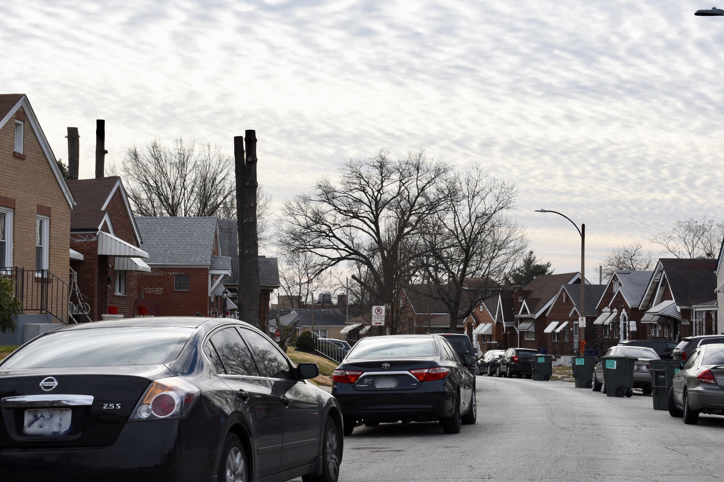
Here are some updated photos, nothing really new, but just a document to show how the neighborhood has changed over the last decade.
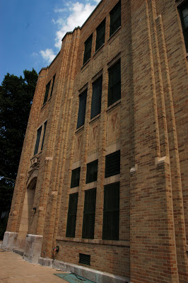
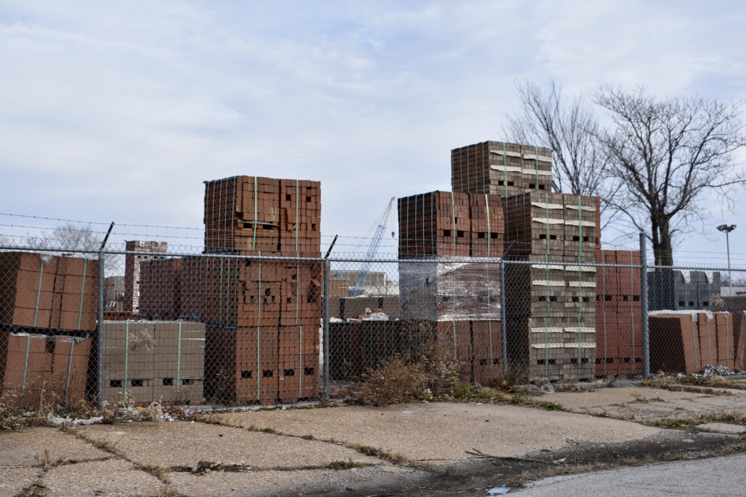
Former factories, brick yard warehousing and other light industrial still exists. There used to be iron works, a Corvette plant, paper companies and stove manufacturers. Some are shown below.
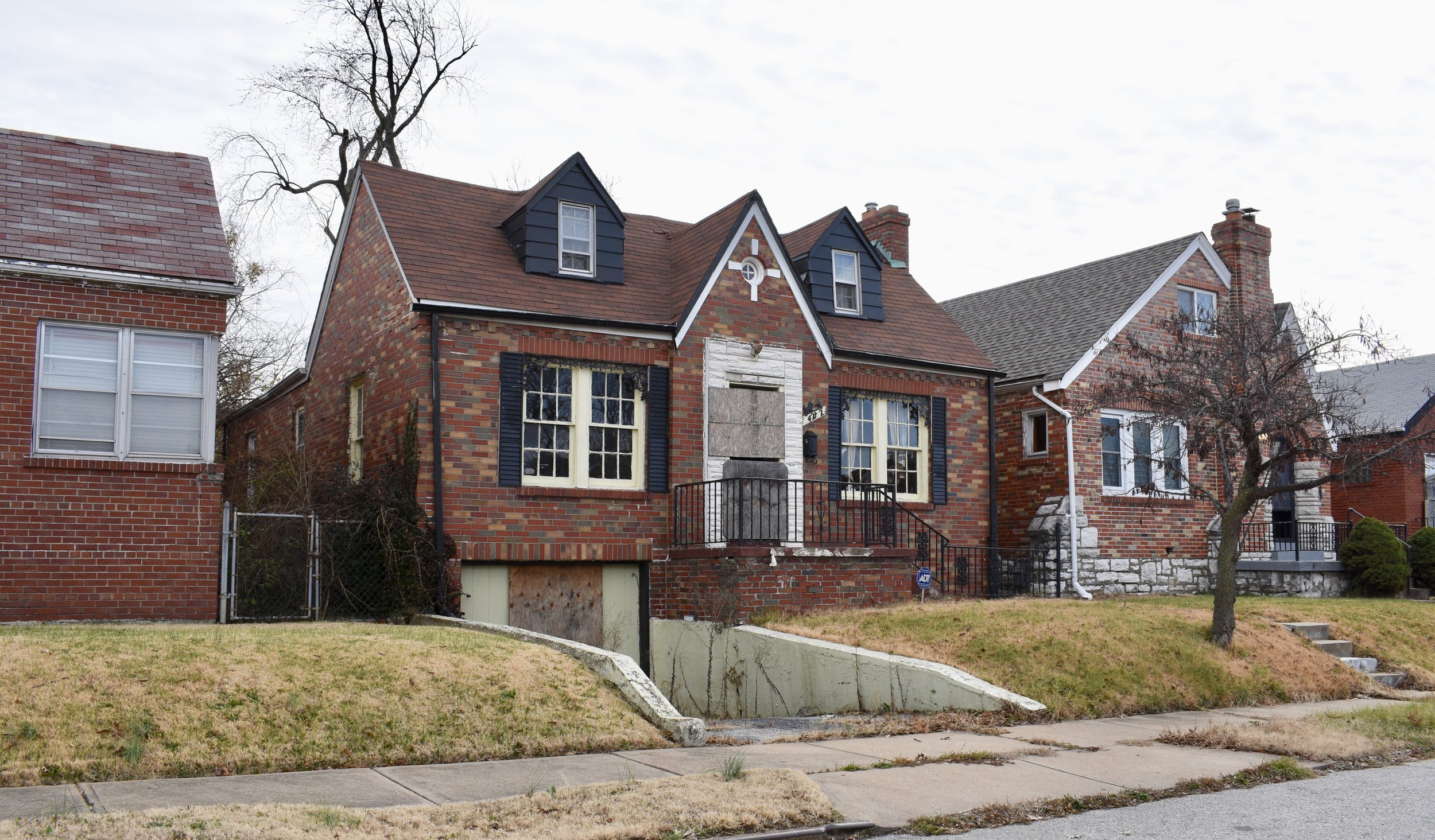
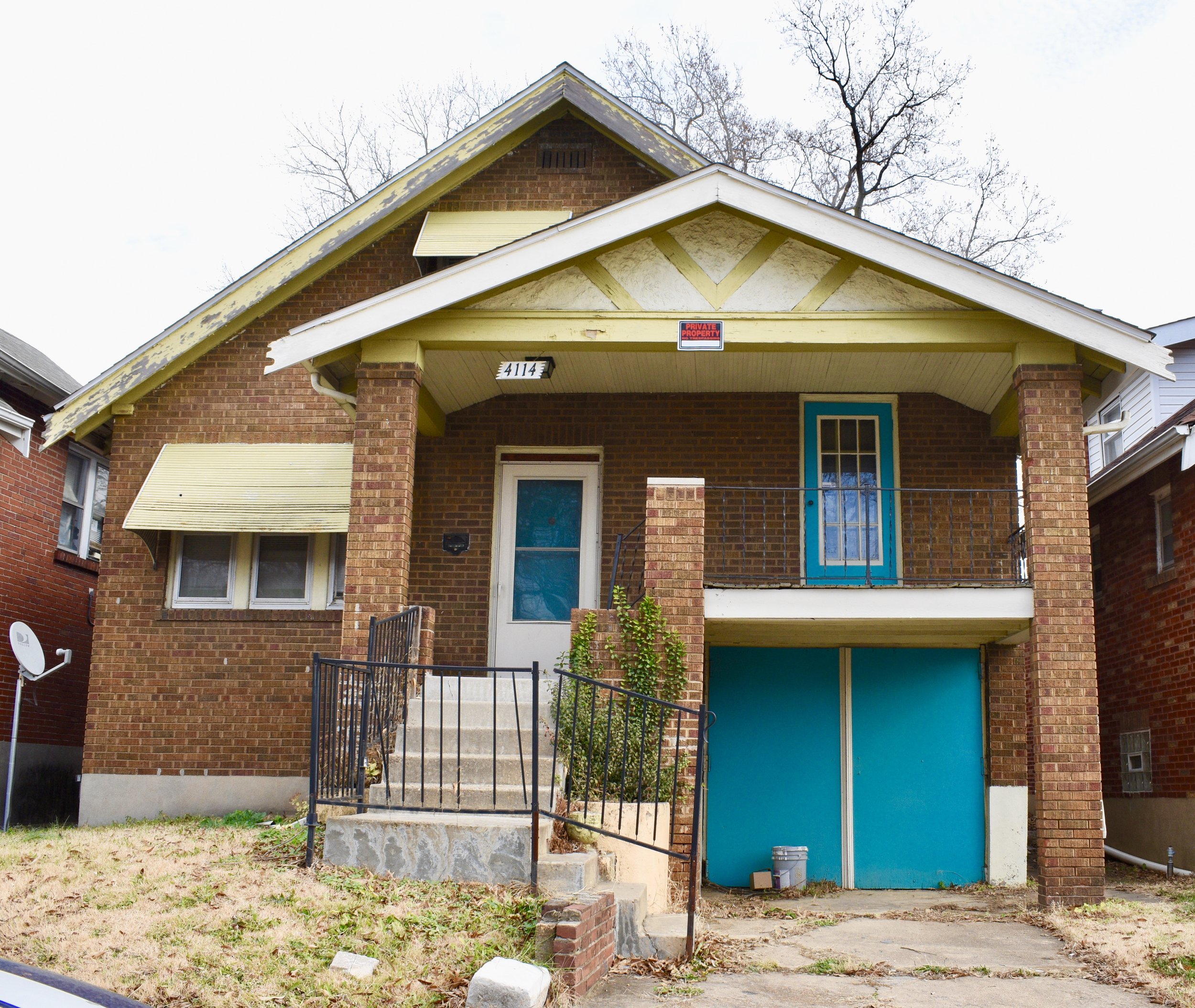
The homes are modest brick beauties along curvy streets.
There is an Am Vets post as well.

Additional St. Louis City Talk Reading
